
Unsettled Weather in Northern Hesse
Thunderstorms, Heavy Rain and Hail: DWD Warns for Kassel and Northern Hesse
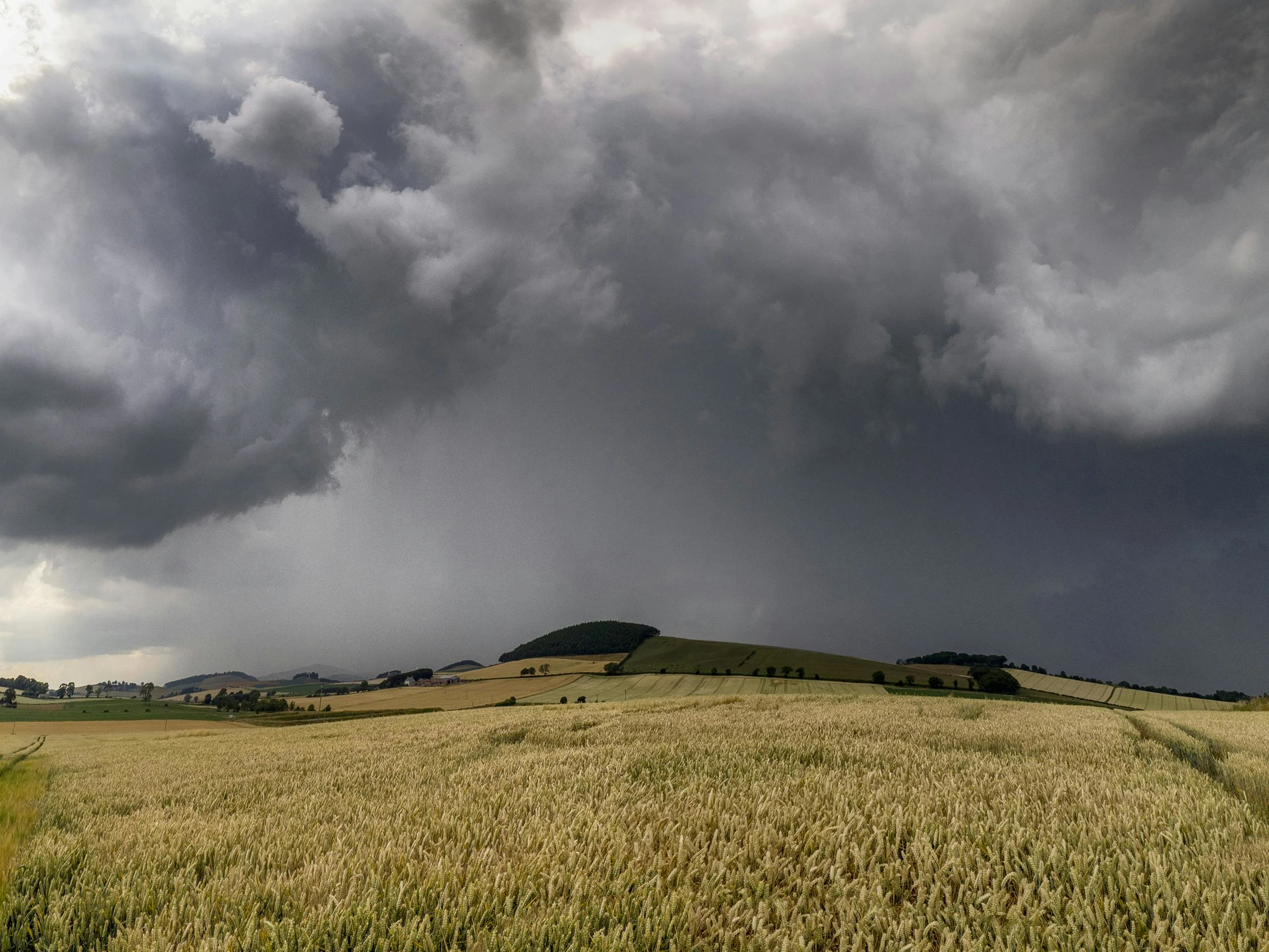
The week begins with changeable weather in Kassel and Northern Hesse: The German Weather Service (DWD) expects showers, thunderstorms, heavy rain, and small-grained hail. Especially on Tuesday evening and during the night to Wednesday, the risk of locally severe rain increases significantly.
After the warm, sunny start to May, the weather situation in the region is noticeably changing. According to the DWD, Northern Hesse is coming under the influence of low pressure; a cold front approaching from the west is causing the previously mild air to be increasingly replaced by cooler air. In such situations, lines of showers and thunderstorms can quickly intensify – what matters less is the daily maximum temperature and more where the strongest thunderstorm cells form and how slowly they move.
Monday: Initially Mild, Then First Strong Thunderstorms Possible
On Monday, temperatures in Kassel and Northern Hesse will again reach 20 to 24 degrees. As the day progresses, the likelihood of thunderstorms is expected to increase. For the afternoon and evening, the DWD forecasts isolated thunderstorms mainly in the north and east, with heavy rain up to 25 liters per square meter and wind gusts around 60 km/h. Small-grained hail is considered likely.
During the night to Tuesday, it is expected to cool down significantly: The temperature drops to about 8 degrees, with light rain expected. In addition, fog may form locally; in some places, visibility may drop below 150 meters. For drivers, this can noticeably worsen conditions – especially where wet roads, spray, and suddenly appearing fog patches coincide.
Tuesday: Unstable – Focus in the Evening and at Night
According to the DWD forecast, Tuesday will remain unstable. Showers may persist into midday, followed by further possible thunderstorms. Heavy rainfall amounts between 20 and 30 liters per square meter are expected; locally, more than 40 liters per square meter cannot be ruled out. Such amounts are especially problematic if they fall in a short time: streets can flood, underpasses and low-lying areas can fill up, and the risk of aquaplaning increases.
The meteorologists pinpoint the main severe weather risk on Tuesday evening and during the night to Wednesday. Then, there may be heavy rain accompanied by thunderstorms in some areas. A relaxation is expected only in the second half of the night. During the day, maximum temperatures on Tuesday will only reach 16 to 21 degrees.
Night to Wednesday: Still Wet, Regionally Different Focuses
During the night to Wednesday, it is expected to remain cloudy and wet in many places. In the north, persistent heavy rain is possible, while the rain in the south may subside earlier. Temperatures drop to 10 to 6 degrees, in higher areas down to 4 degrees.
Wednesday and Thursday: No Quick Weather Improvement
By midweek, there is still no sign of a stable weather phase. On Wednesday, dense clouds dominate, with showers and isolated thunderstorms expected in some areas, especially in the north. Maximum temperatures are between 14 and 20 degrees.
Thursday will also remain mostly cloudy; further showers and possible thunderstorms should be expected. Temperatures will then only reach 13 to 17 degrees. Thus, the unsettled weather situation in Kassel and Northern Hesse will continue at least until Thursday.
Anyone traveling in the region should especially keep an eye on short-term developments on Tuesday evening and during the night to Wednesday: With thunderstorms, intensity and track can vary greatly locally. It makes sense to plan routes and appointments with extra time buffers, avoid low-lying routes during heavy rain, and check current official warnings at short notice.
Frequently Asked Questions
Sources
- https://www.hna.de/hessen/unwetter-in-nordhessen-kassel-warnungen-vor-starkregen-und-gewitter-in-der-livekarte-94290392.html, Florian Dörr, Nora Kraft, 2026-05-05T07:40:00+00:00
- DWD Aufgaben
- Niederschlag l/m² Erklärung
- Kaltfront Glossar